States Embrace New Planning Methods for Corridor Projects
WASHINGTON — The Washington state Department of Transportation is mapping out performance goals and maintenance needs for all 304 of the state’s highway corridors.
In 2015, WSDOT began its Corridor Sketch Initiative, a set of guidelines meant to make regional planning more efficient. The agency and its partners compile sketches for the corridors that include roadway descriptions, performance expectations and a list of features that need to change in the future.
The launch of the initiative was divided into two phases, the second of which concluded in June 2017.
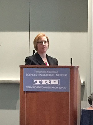
ODOT's Schneider at TRB. (Eleanor Lamb/Transport Topics)
Kenneth Stone, environmental program manager at WSDOT, said the focus is on managing assets and keeping the highway system in good repair. He said that 84 sketches have been published so far.
“Funding is limited and transportation is changing,” Stone said at the Transportation Research Board’s annual meeting Jan. 8. “We need a proactive approach to planning by evaluating the transportation network.”
Washington is not the only state embracing a new planning system for projects. The Ohio Department of Transportation uses a performance-based project development system.
Erica Schneider, assistant environmental administrator for ODOT, said the agency starts a project by identifying purpose and need. The agency first determines primary needs, which refer to what must be addressed, followed by secondary needs, which are fixed based on impacts and costs.
“[It’s] better to build many good projects rather than a couple perfect projects,” Schneider said. “It’s better to have a lot of good projects and improve a lot of areas.”
One project ODOT is conducting with the performance-based project development strategy is the GRE-35, which will convert a short stretch of U.S. Route 35 that runs through Greene County into a controlled-access highway. U.S. 35 spans southwestern Ohio. The portion that ODOT plans to work on is about 5 miles and is located about 55 miles north of Cincinnati.
“It certainly improves the congestion through that area,” Schneider said. “It’ll definitely improve the slow-moving areas.”
Schneider said the GRE project has been in the works for many years. However, the preferred repairs, such as grading and the addition of interchanges, would cost $120 million. Using performance-based project development, the agency came up with the idea to create “superstreets” for a fraction of the cost. Superstreets refer to a network of minor streets that will allow motorists to make a U-turn.
Schneider said the project is being re-evaluated as required by the National Environmental Policy Act, but should be underway soon.
“It does improve congestion, it does improve safety, but, in the end, it’s not as good as interchanges,” Schneider said.