Mapillary Assists Transportation Agencies With Safety

Mapillary, a street-level imagery platform, has announced that photologs with 40 million images of about 270,000 miles of road data have been uploaded to its system to improve safety in the commercial and commuter transportation sectors.
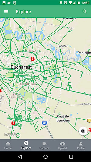
Display on Android device by Mapillary.
The additional images came from the departments of transportation in Connecticut, Arizona, Florida, Utah and Vermont.
Mapillary said the images enhance assessments of road surveys, pavement maintenance and crash analysis. Its computer program is designed to detect guardrails, traffic signs and pedestrians’ interactions with vehicles.
“A huge part of the puzzle for DOTs is to be able to make sense of all the data they have. You need quick and scalable ways of assessing roads and the surrounding infrastructure, whether that’s the actual roads or things like guardrails,” Janine Yoong, vice president of business development at Mapillary, said April 12. “Most DOTs manage road networks that span across hundreds of thousands of miles, so this has previously been a very laborious and expensive task.”
Through Mapillary, agencies have an alternative to site visits for assessing traffic signs and guardrails. Officials are able to upload images via phones, cameras or professional rigs to manage and research the data.
In a step towards understanding road safety, 5 US state DOTs have made photologs available on Mapillary—40 million images covering 270,000 miles. For more on this and why @USDOTFHWA has named us an important tool for roadway safety, click the link below. https://t.co/eIJURCuopi — Mapillary (@mapillary) April 17, 2019
“Most people don’t think about things like traffic signs and road conditions until it’s broken, but keeping track of this is of absolute necessity to ensure that people on the roads remain safe,” Yoong added. “Having access to readily analyzed photos saves both time and taxpayers’ money, and helps ensure road safety.”
According to Vermont’s Agency of Transportation, approximately 3,900 of its route miles are videologged and the data is available via Mapillary. A recent report by the state’s Governors Highway Safety Association determined speeding remained a contributing factor in about one-third of motor vehicle-related fatalities.
“If we want to get to zero deaths on our roads, we need to address speeding on a much deeper and more comprehensive level than we have been,” the association’s executive director, Jonathan Adkins, said earlier this year. “This clear and present danger on our roadways makes it imperative to devote additional resources toward getting drivers to slow down in order to save lives.”

Photo view on Android device by Mapillary.
According to the National Highway Traffic Safety Administration, there were 37,133 fatalities resulting from motor vehicle crashes in 2017. On Capitol Hill, federal lawmakers are sounding the alarm on highway fatalities, and intend to expand safety programs.
“Let me put this in context,” U.S. House transportation panel Chairman Peter DeFazio (D-Ore.) said April 9 regarding NHTSA’s 2017 figure. “This is the equivalent of about 218 fully loaded airplanes falling out of the sky each year and yet somehow this has not spurred Americans to demand that enough is enough.”
DeFazio, speaking at a Highways and Transit Subcommittee hearing, added, “If that weren’t bad enough, when you consider that the top causes of motor vehicle deaths are drunk driving, speeding and distractions, you realize these deaths are entirely preventable.”
Content on Mapillary is growing. Earlier this month, the firm, founded in 2013, announced more than 500 million images had been uploaded by users worldwide.