
[Stay on top of transportation news: Get TTNews in your inbox.]
Isaias to menace U.S. oil assets as Category 2 hurricane
Storm arrives at a precarious time for oil markets
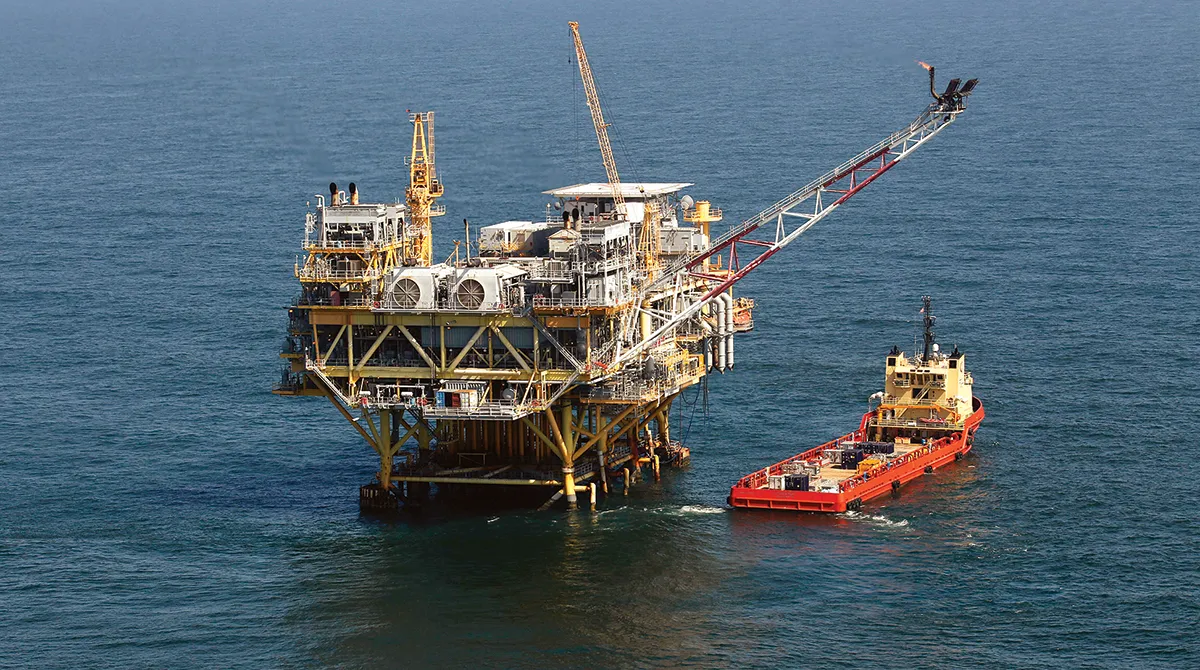 A rig and supply vessel off the coast of Louisiana. (Gerald Herbert/AP)
Key Takeaways:
- Tropical Storm Isaias is forecast to strengthen into a Category 2 hurricane and reach the Gulf Coast near Mobile, Ala., early Oct. 10.
- The storm threatens flooding, storm surge and energy disruptions, with more than 9% of Gulf oil production already shut in.
- Chevron evacuated nonessential Gulf personnel while forecasters warned the storm could rapidly intensify and its track confidence remains below average.
The first Atlantic hurricane of the season is forecast to reach the Gulf Coast early Oct. 10, threatening damaging winds, flooding and potential disruptions to energy production after an otherwise quiet storm season.
Tropical Storm Isaias is expected to grow into a Category 2 hurricane in the coming days, with top winds of 110 mph, the National Hurricane Center said in a 5 a.m. New York time advisory. The forecast takes the storm east of major oil platforms and natural gas pipelines off the coast of Louisiana and Texas, though the center said confidence in the forecast is “below average.”
Forecasts show the storm making landfall near Mobile, Ala., which has proven susceptible to storm surge in the past, according to risk modeler Chuck Watson of Enki Research. Watson said in a blog post Oct. 7 that effects from Isaias could extend eastward to Pensacola, Fla., and Eglin Air Force base in the western Florida panhandle before the storm collapses. If that comes to pass, Watson said potential damages and economic impacts could exceed $6 billion.
Regardless of its exact trajectory, “it is looking more likely that Isaias will be a significant hurricane when it reaches the coast,” forecaster Philippe Papin wrote in an update early Wednesday.
Chevron Corp. is evacuating nonessential personnel from its Gulf platforms as a precaution. No changes to production or operations are expected at this time, the company said.
As of Oct. 6, roughly 9.24% of Gulf oil production and 3.36% of natural gas production had been shut in ahead of the storm, according to data published by the federal Marine Minerals Administration.
4 AM CDT Wed Oct 7 (Advisory 3) Key Messages for Tropical Storm #Isaias. Latest info: https://t.co/GrztW6mQJV 4 AM CDT miércoles 7 de octubre (Aviso 3) Mensajes clave sobre la tormenta tropical #Isaias. Más información: https://t.co/GrztW6mQJV https://t.co/KtZXk4I1OV
— National Hurricane Center (@NHC_Atlantic) October 7, 2026
The storm arrives at a precarious time for oil markets. Amid strain from the war in Iran, they can’t afford disruptions to diesel production, the workhorse fuel used by trucks, trains, industry and for heating. A shift westward could bring more offshore production and Gulf Coast energy infrastructure into the storm’s path.
Forecasters have warned that portions of the Gulf Coast face increasing risks of high winds and storm surge impacts. Heavy rains are expected to extend for miles, bringing a threat of urban flooding and isolated river flooding in the Southeast.
Isaias was situated 580 miles southwest of the mouth of the Mississippi River early Oct. 7. In the coming days, it’s expected to rapidly strengthen as it draws power from warm waters off the Gulf Coast. By Oct. 8, it’s expected to grow into the first hurricane of the Atlantic season — a milestone normally reached in the second week of August.

Arpan Podduturi of Samsara examines how AI, telematics and onboard cameras are converging to protect drivers and reduce risk. Tune in above or by going to RoadSigns.ttnews.com.
This Atlantic season has lagged well behind the usual pace, with eight named storms, none of which became hurricanes. By early October, an average season typically has produced about 11 named storms, including five hurricanes and two major hurricanes.
Strengthening El Niño conditions have increased wind shear that helped suppress activity across the basin. Shear occurs when winds change speed or direction at different altitudes, disrupting a storm’s structure.


